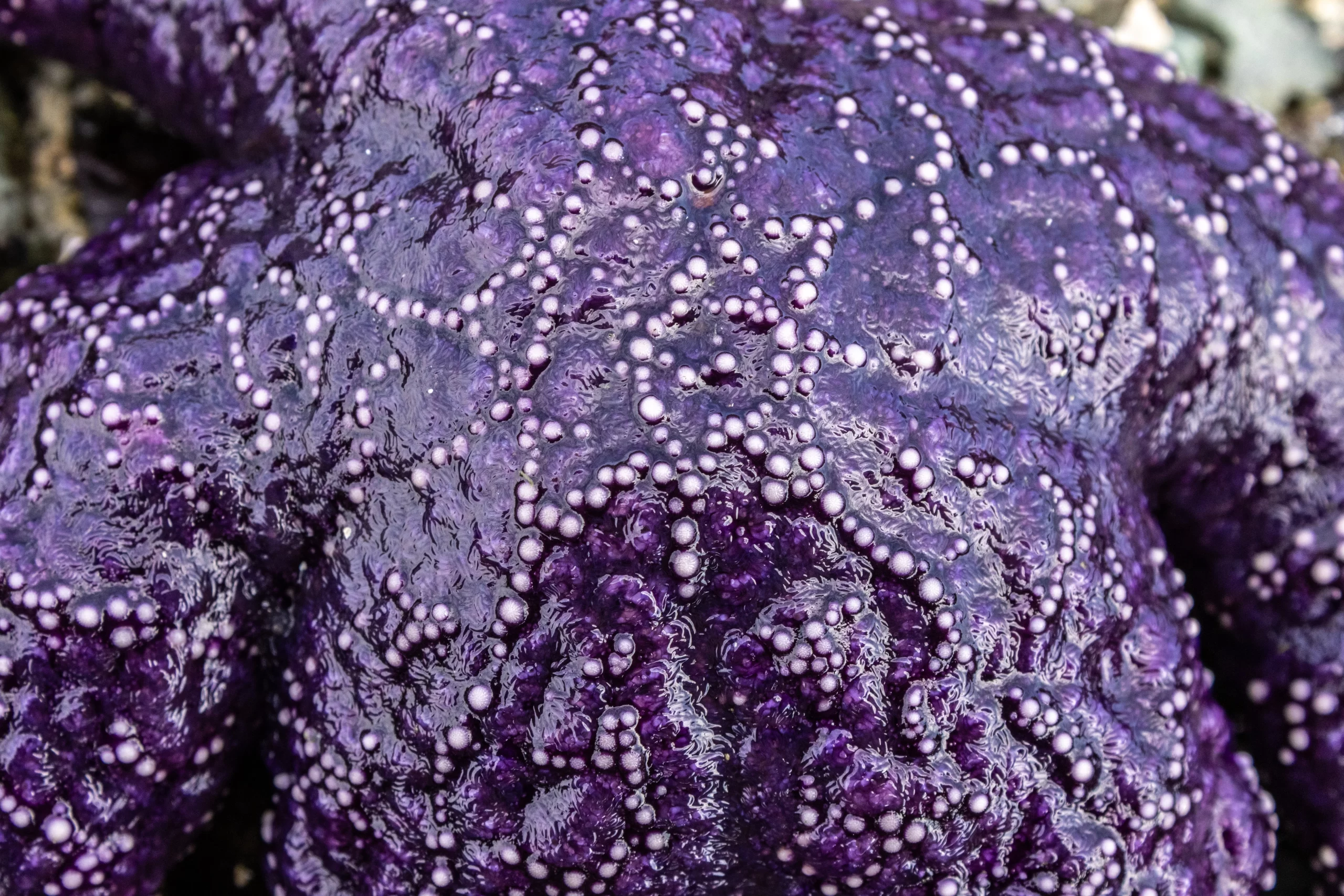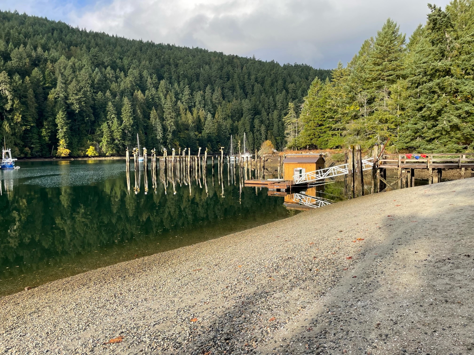
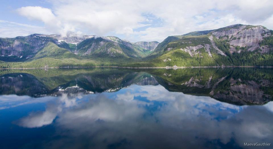
First developed in 1979 and tested on the shorelines near Victoria, BC, ShoreZone is a precise system for habitat mapping and classification with a variety of uses. Several times a year, our team takes to the skies by helicopter to collect images and video footage of the shoreline at low tide, then meticulously identifies and maps both biological and geological features into a vast database we make publicly available on our ShoreZone website. Over the past thirty years, we’ve mapped the entire nearshore coastlines of British Columbia, Alaska, Oregon and Washington; and are currently surveying the Canadian East Coast.

ShoreZone takes a close-up inventory of the biology and geology of North America’s coastlines. People use our coastal data, imagery, and maps to manage the coast for the benefit of the many animals and plants, people, and industries who depend on it. In fact, uses for our data are only limited by the imagination. We are regularly contacted by researchers, scientists, students, and individuals who want to use ShoreZone for exciting new projects and studies. ShoreZone’s protocol has even been used to advance space exploration!
ShoreZone’s baseline data improves our ability to understand, respond to, and plan for the dynamic coastal changes taking place in the Pacific Northwest, Alaska, and the East Coast—changes such as increasing storm frequency and coastal erosion, projected increases in shipping traffic, and offshore oil and gas development. ShoreZone provides coastal managers with access to data that supports planning and response efforts.

SeaChange makes ShoreZone’s library of photos, videos, maps and digital habitat data available online to the public for free. To access our database, view our beautiful galleries of vast stretches of North American coastline, and learn more about our exciting surveying and mapping work, visit our ShoreZone website: